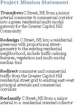
The WashCycle blog has discussed HERE and HERE the C Street, NE Project's conceptual raised-median trail and DDOT's suggested bike-lane configuration from the perspective of bicyclists.
Though the C Street, NE Project's "multi-model trail" would be geared towards, cyclists, roller-bladers, joggers/runners and walkers, the perspective of safety and mobility (uninterrupted travelling speeds) are worth consideration. The goal of the multi-modal trail, in essence, would be to extend the recently completed portion of Anacostia Riverwalk Trail (ART), which has a terminal at C & 21st Streets, NE., into the Capitol Hill community. This allows users a safer connection between their neighborhood and outdoor recreation spaces, such as ART, Kingman and Heritage Islands, Lincoln Park and Stanton Parks, Eastern Market, Langston Golf Course; and maybe someday, other destinations like the Aquatic Gardens and the Arboretum.

DDOT's Interim Anacostia Riverwalk Trail (ART) Map
Below are two excerpted images from NYC Department of Transportation Traffic Management Division, 2009 Boulevard Pilot Project, for Allen & Pike Streets referenced in WashCycle's post.

Interim Test Treatment
The above interim test treatment provides a living “vision” of what could be by testing the feasibility of closing certain cross street intersections, creating uninterrupted connections between the existing "Malls" (median segments) and using limited investment capital.

Long Term Conceptual Design
The above "Long-term Vision" of the existing median, "Malls doubled in width creating grand, Parisian-style linear greenway and community space".
Though the above median concept design is for a high-density, commercial and residential boulevard, the intent is the same, safely connect the community to it's outdoor spaces, provide open green spaces and reduce vehicular impact on the community. Image C Street, NE with a similar role for the community, it really isn't that hard.
Part of C Street, NE Project's conceptual raised-median trail design is to reduce one intersection, 18th Street (refer HERE), and employ "all-stop" intersections at the remaining vehicular crossing intersections (21st, 19th, 17th, 15th and 14th/Constitution Ave) to allow pedestrians to move in, out and along the trail. The traffic-signals could be sequences to assist in maintaining cyclist "flow" while travelling along the trail.
Thanks to WashCycle for picking-up and discussing the trail/path and David C. for the tips.


No comments:
Post a Comment