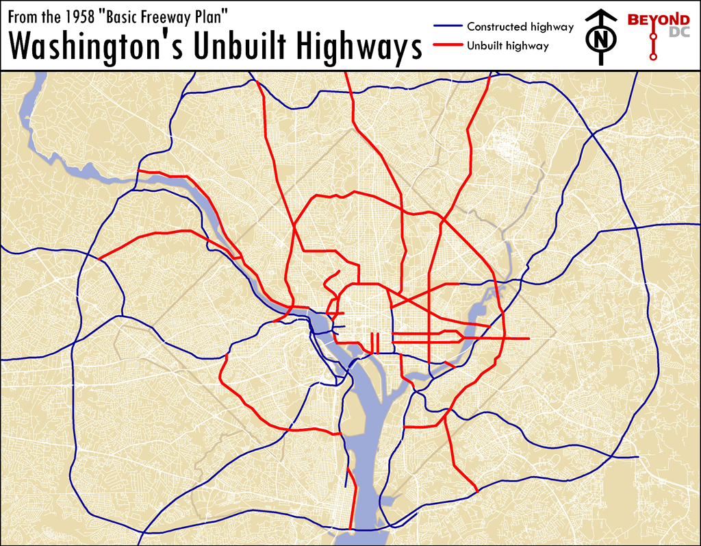
Greater Greater Washington and
BeyondDC built a great map called
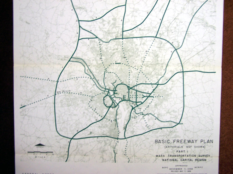
"Washington's Unbuilt Hoghways". It was created using the
1958 Basic Freeway Plan map. Clearly you can see planners' intent to use East Capitol Street (east of the Anacostia River) and Constitution Ave and Independence Ave (west of the Anacostia River), originally B Streets NE and SE, respectively, as a thruway. Though the "Washington's Unbuilt Hoghways" shows Constitution Ave, Independence Ave and a segment of C Street as unbuilt highways, one can argue that C Street NE from 21st to 16th Street was, in fact, built. And, even though the full vision of the at-grade highway thankfully was not completed, commuters and commercial trucks use the east-west route daily as if it had been built.
 1958 Basic Freeway Plan Map
 Washington's Unbuilt Hoghways Map
These maps help validate our
assumptions to why just 6 blocks of residential C Street NE look, smell, taste and function as a regional commuter and commercial truck corridor.
Thankfully most of the infrastructure wasn't built. Now, it is time to start deconstructing these ill-planned and oppressive commuter and commercial routes that cut-through the greater Capitol Hill community.
Here are some cost-effective ideas on how to justify such an endeavor.
Disclosure: The above maps were excerpted from
Greateer Greater Washington


